Note: Dorothy Foster and her husband, Bob, are former residents of Mokelumne Hill and were very active in the community; especially in their active work for the parks and town hall.
From Coast to Crest, By Matt Brown
Lodi News-Sentinel, August 26, 2007
In 1987, Mokelumne Hill resident Dorothy Foster was looking for a place to ride her horses. Surrounded by private land, she longed for a trail along the Mokelumne River that would allow public access. She went to the Heritage Trails Fund for help.
“I found that the land along the Mokelumne River is owned by different agencies,” said Foster, who now lives in Oroville. “I thought, this is great. All I have to do is get people interested and we can get a trail going.”
Soon, a nonprofit organization formed to bring together a handful of stakeholders along the river, and the trail movement began.
The Mokelumne Coast to Crest Trail Council hopes to open the entire river to hikers, bikers, boaters and equestrians. The group of environmentalists and nature lovers has been diligently building a 300-mile trail along the Mokelumne from the crest of the Sierra to the San Francisco Bay Area.
When completed, the Mokelumne Coast to Crest Trail will be the first hiking trail that crosses the state from east to west. The trail, which will begin at the north-south Pacific Crest Trail near Ebbetts Pass, still has many years to go before completion.
“It would be nice if it were done before I passed away,” said Steve Diers, 54, an East Bay Municipal District ranger and trail coordinator. “The Pacific Crest Trail took 45 years to complete.”
One challenge has been getting all the various agencies and landowners along the route of the trail to collaborate on the project.
From Oakland, the trail will use a series of East Bay parks trails to San Joaquin County. There, private land and access issues have forced trail planning to slow.
A 22-mile stretch of trail is now open on grassy foothill land near Camanche and Pardee Reservoirs. From there, trail organizers are working with Calaveras County to plan a route to Tiger Creek Reservoir.
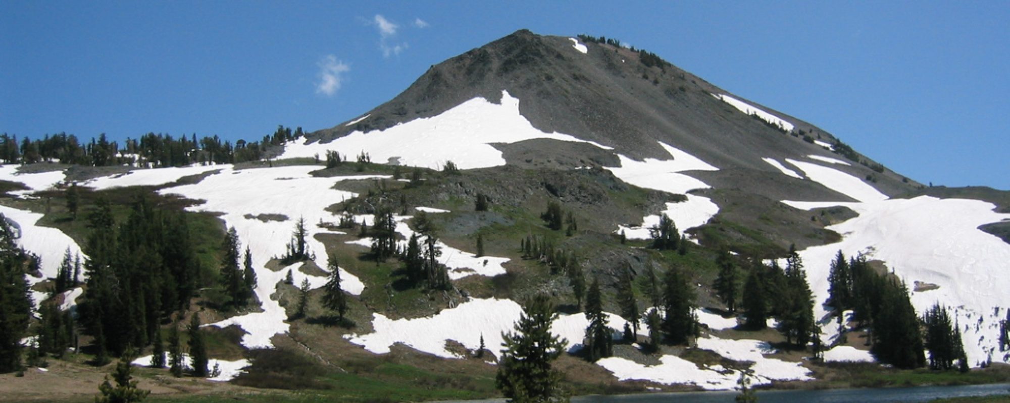
The upper section of the trail is on rugged U.S. Forest Service land in the upper Mokelumne Canyon. Pieces of the trail have already been built from Ebbetts Pass to Tiger Creek. Forest Service recreation specialist David Vosti said that this is the most spectacular section of the trail.
“The views are incredible down into the Mokelumne Wilderness,” he said of the trail, which passes Calaveras Dome, one of the largest granite monoliths in the world.
Vosti said the Forest Service section has been hobbled by a lack of funds. Federal money earmarked for trail construction was diverted to other projects, such as the Hurricane Katrina recovery, he said.
Still, miles of trail continue to be built. A hardworking group of volunteers meets every other weekend to clear brush, build rock walls and install signs.
Sue Shalvey, chairman of the Mokelumne Coast to Crest Trail Council, said it is exciting to think about a completed trail.
“It’s a remarkable opportunity to work with like-minded souls and do something that’s going to stay on the map,” she said. “I see it as really important for education, recreation and getting outdoors. It’s a great way of showcasing the geographic diversity of our state.”
For Foster, watching the trail come together is like a dream come true.
“It makes me feel like I have done something important with my life,” she said. “I’m just glad people continued with it.”

I had a gorgeous hike on the Orinda Connector Trail this morning and ran into a little placard with the Mokelumne Trail on it. Keep up the great work!