Plan your day hike or trip using the ArcGIS visitor map.
Tour our trail’s history with the US Forest Service virtual live!
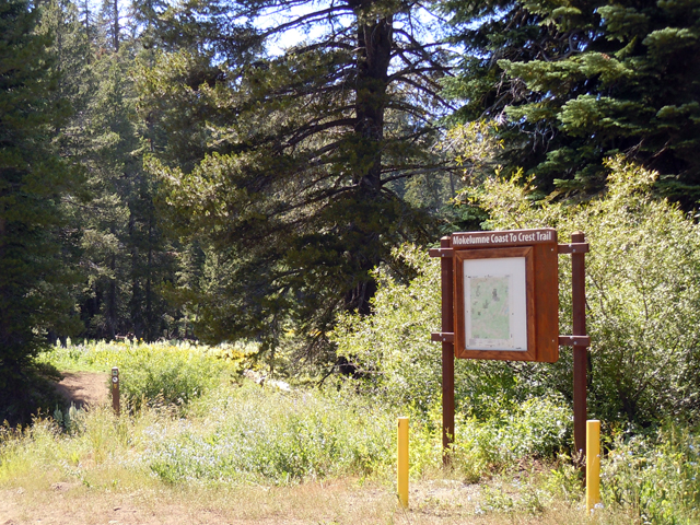
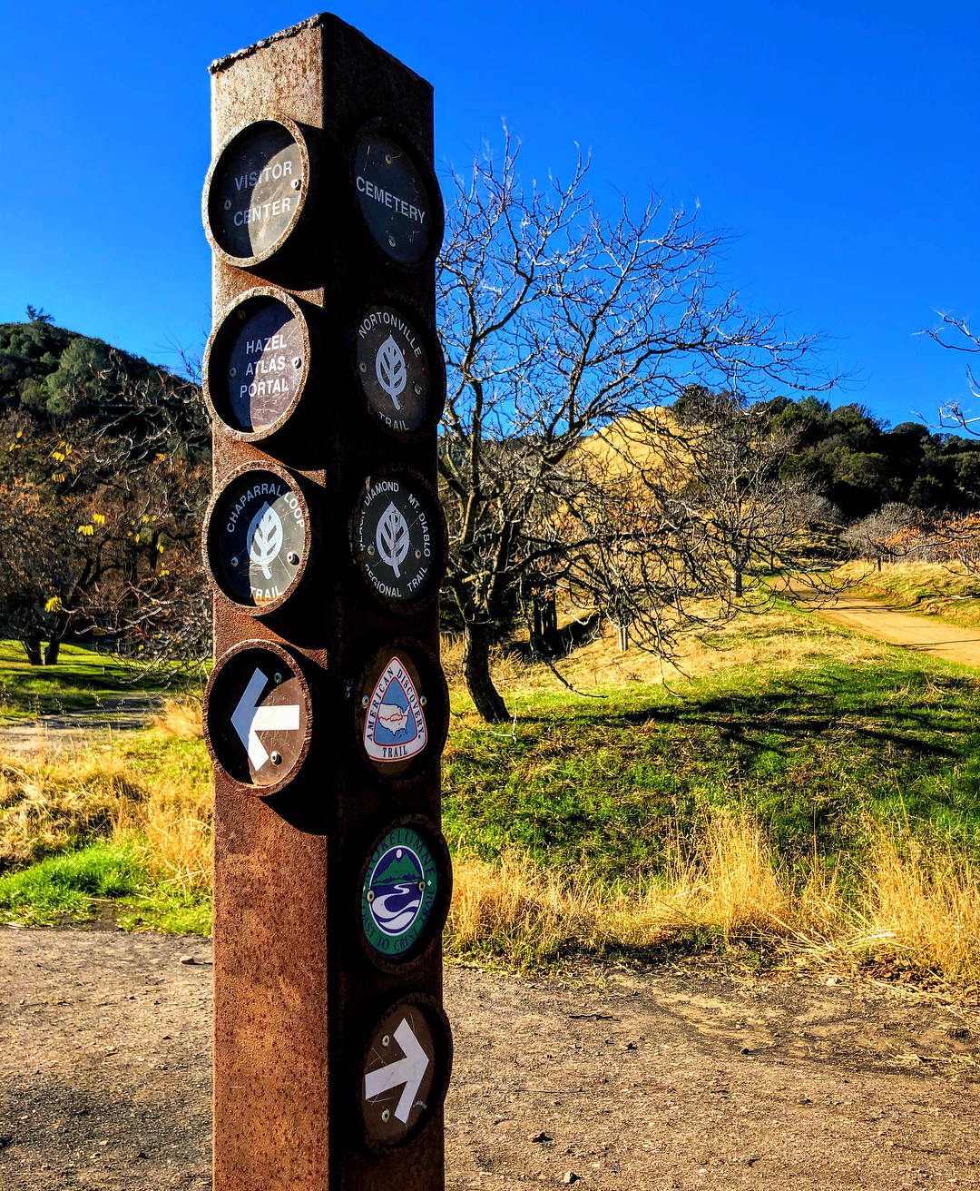
Learn more about our open trail segments
East Bay – Contra Costa County
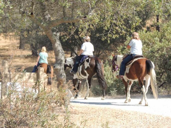
Camanche-Pardee Reservoirs
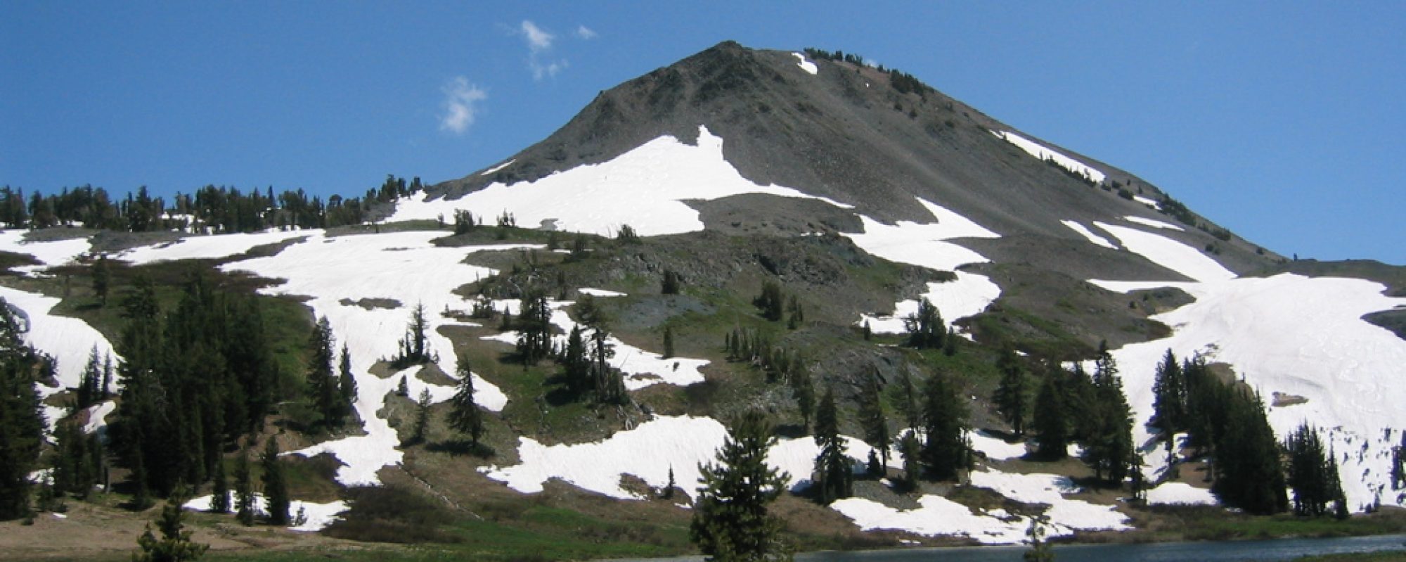
Upper Mokelumne River Canyon