Hello Forest Service!
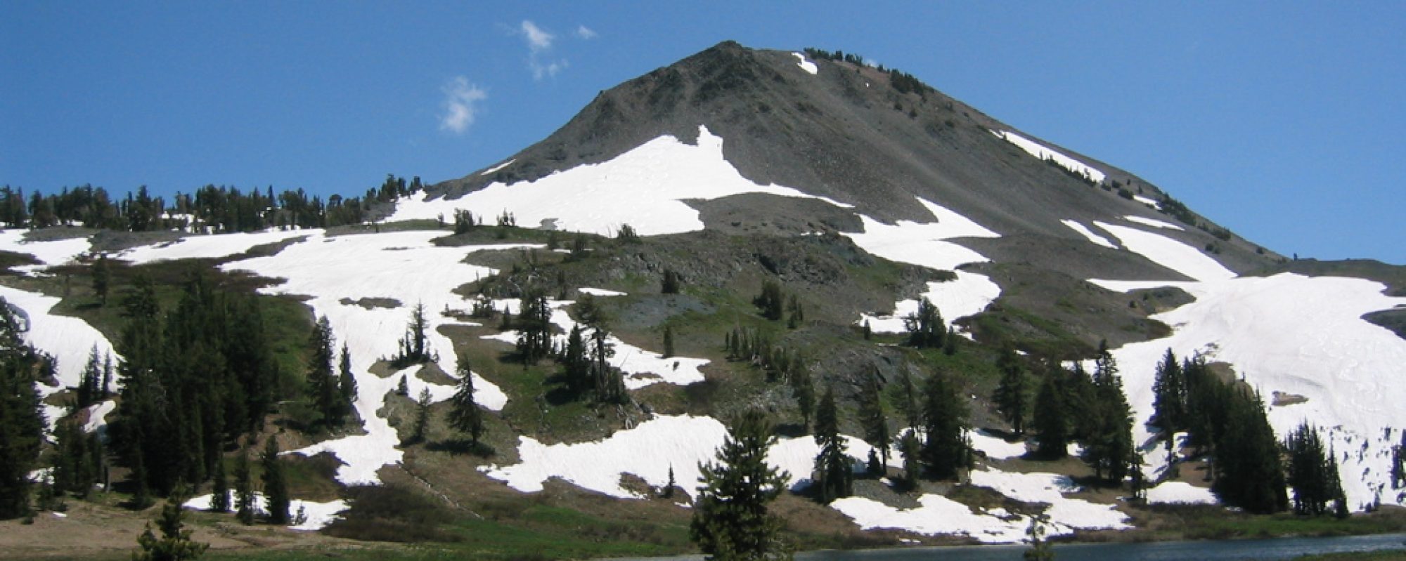
This is a little trail marker photo essay between two locations: the parking lot across the highway in Bear Valley, and Ebbetts Pass. I did not visit all intersections and trailheads. Our offer still stands to borrow the Council’s Trimble Juno SB to map Moore Creek to Ebbetts Pass trail this summer. Thanks for all that you do! – MCCT Trail Council

38° 27’52.69639″ N 120° 2′ 35.63299″ W
——————–

![]()
38° 27’52.69639″ W 120° 2′ 35.63299″ W
———————-

![]()
38°28’54.74079″ N 119°59’31.78419″W
———————-

38° 28’49.56739″N 119° 59′ 8.16099″W
———————-

38° 28′ 54.49700″N 119° 59′ 31.03869″W
———————-

![]()
38° 30′ 21.38120″ N 119° 56′ 38.80999″ W
———————-

38° 30’21.38120″ N 119° 56’38.80999″ W
———————-

38° 30’21.38120″ N 119° 56’38.80999″ W
———————-

![]()
38°30’52.50580″ N 119° 54’50.34139″ W
———————-
No images:
19E01 Emigrant Trail junction with Sandy Meadows
New connector trail (Pacific Valley Grade Trail?) at 19E43 Pacific Valley
19E43 (trail name?) at 20E01 Marshall Canyon Trail 38°49’66.54N 119°89’59.04″ W
20E01 Marshall Canyon Trail thru Milk Ranch Meadows. Willow Flat Trail & Hiram Meadow Trail junctions
20EO1 Marshall Canyon Trail at 8N01 Tryon Meadow 38°50’58.70″N 119°80’26.68″W
8N01 Tryon Meadow to Highland Lakes
Highland Lakes to Gardner Meadow Trailhead
20EO2 Lower Gardner Meadow Trail to Pacific Crest Trail to Ebbetts Pass Connector to Ebbetts Pass TH. Include Disaster, Arnot Creek, Asa Lake, Wolf Creek Pass, Noble Canyon Trail, Bull Canyon Trail, Asa Lake Spur junctions.
————————————

Sign installation complete
