Welcome to a trail of diverse and unparalleled beauty.

The MCCT is a non-motorized & multi-use trail bisecting California, roughly following the Mokelumne River from the headwaters at the Sierra Crest down to Martinez on the Carquinez Strait where the river enters the Bay. The trail is split up into five segments located among many counties from coast to crest.
Just under 50% of the MCCT is complete, with additional trail opening as jurisdictions complete them.
The MCCT is also one of twenty-seven official California State Parks trail corridors that form a statewide trail system linking mountain, valley and coastal communities to recreational, cultural and natural resources throughout the state.
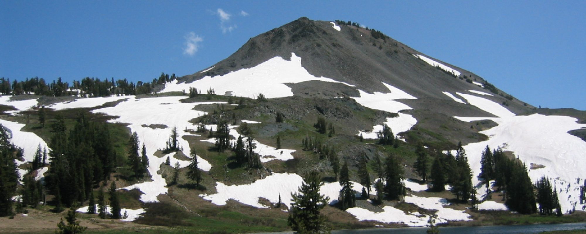
The MCCT is unique in that it passes through several Northern California regions – Bay Area shoreline, East Bay foothills, Delta sloughs and wetlands, San Joaquin valley farmland, Mokelumne River valleys & canyons, Sierra foothills also known as the Mother Lode, Sierra Nevada forest, & Sierra Nevada alpine.
A non-profit corporation called the Mokelumne Coast to Crest Trail Council stewards the public input process, design, and maintenance of trail, in partnership with public and private organizations in the six-county cross-section of California between San Francisco and the Sierra Nevada.

Can I ride my bicycle on the coast to crest trail or is it only for hiking and horses?
Hello Don,
Riding depends on the segment you are looking at. Our trail partners like East Bay Municipal Utility District restricts bikes on their lands, as does the Wilderness up in Forest Service lands. Where would you like to ride? You can learn more on each segment’s page on this website. Have fun out there, the weather is terrific this time of year.