State Park, Interpretive Association sign trail; signals East Bay-Contra Costa segment is finished

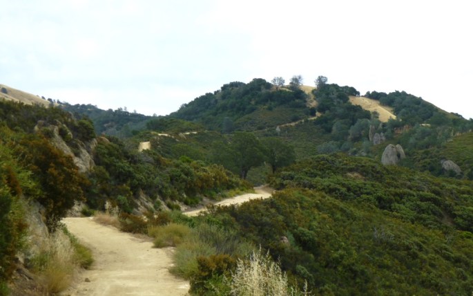
Even more trail goodness! This time Mount Diablo State in the East Bay – Contra Costa County segment.

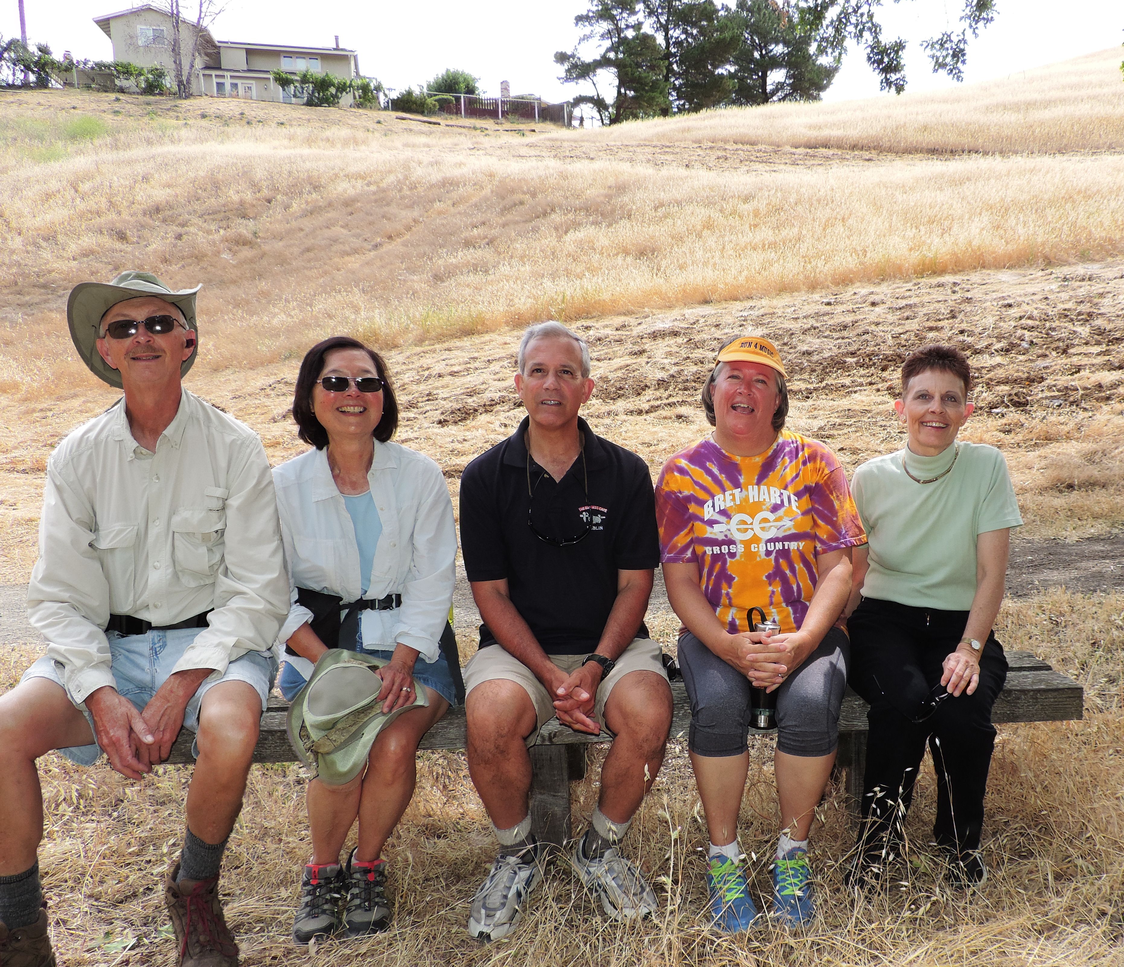
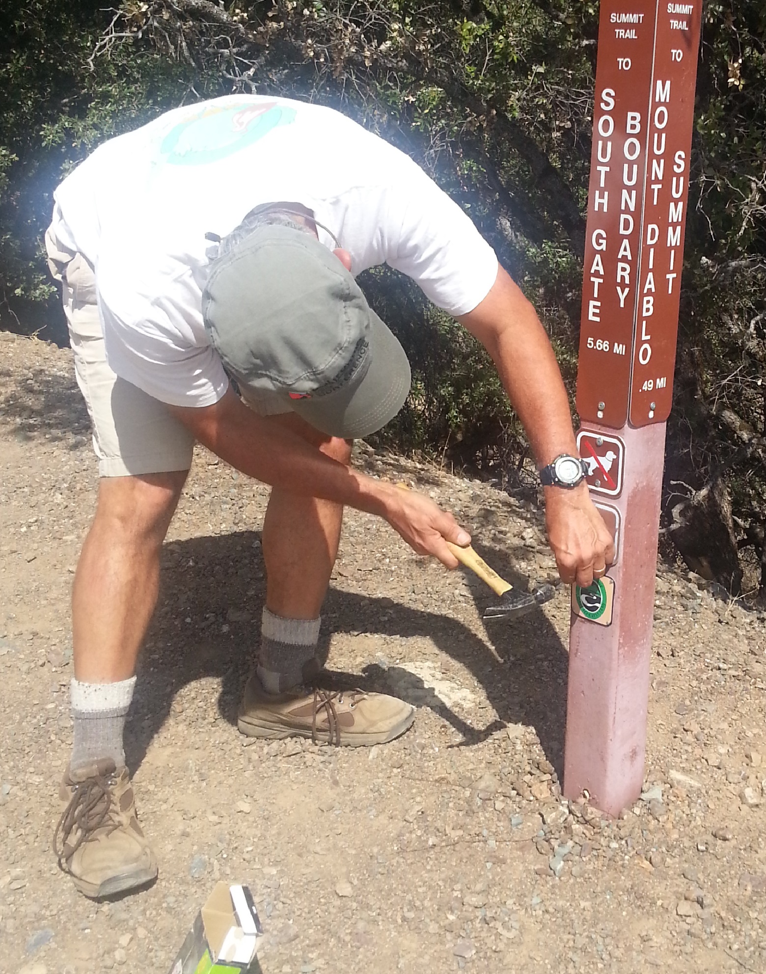
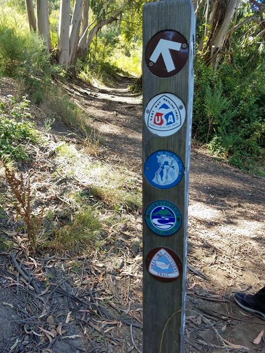
In June – September 2015, Mount Diablo State Park officials, Mount Diablo Interpretive Association, town of Clayton, and the trail council worked together scouting potential alignments & attaching trail signs on posts. We are grateful to Mark Sinclair of State Parks, John Mercurio, and MDIA’s Mike and Ruth Ann Woodring for completing the state park signing.

The result: newly open trail entering the park from the southwest via the Briones-Mt Diablo Regional Trail (managed by East Bay Regional Park District) and from the northeast via the town of Clayton (home to MCCT trail-co founder George Cardinet Jr.)

Hooray!! The MCCT is now continuous between Martinez (and Berkeley) to Antioch’s Big Break Regional Shoreline, the gateway to the Delta. This announcement marks the 2nd completed MCCT segment, with three segments to go (another completed segment is planned to come online in 2018.)

Busy trail junction in Berkeley with Meadow Canyon Trail, East Bay Skyline Trail, & Bay Area Ridge Trail

View the Mokelumne Coast to Crest Trail map free on ArcGISOnline. After checking out the map, plan your trip in this segment using East Bay Regional Park District’s interpark regional trails info. Happy trails!

A Kodak moment: MCCT opens for business in East Bay-Contra Costa

an early 1990s photo with Mt. Diablo in the background

Diablo Foothills Regional Park will always hold a special place in our collective MCCT heart — for it is the first of the East Bay Regional parks to publish their website map showing the MCCT passing through it.

We’re so thankful and excited travelers will soon be able to hike from Martinez or Berkeley to the Antioch Bridge or Brentwood, following MCCT trail signs for almost the entire way.

Updating recreational trails near Contra Loma Recreation Area

Do you visit this park located in the East Bay Regional Park District? In the next couple months the MCCT alignment through this area will be signed. If you have any suggestions or concerns about trail use here, please consider reading this notice and attending the upcoming public workshop. Thanks!

From the East Bay Regional Park District website: The U.S. Bureau of Reclamation is preparing a Resource Management Plan (RMP) to guide future management of land and water resources for Contra Loma Reservoir and Recreation area. The East Bay Regional Park District manages recreation at the park under agreement with Reclamation. The Contra Costa Water District and the City of Antioch manage water and the Community Park under separate agreements.

Reclamation hosts its second RMP Development public workshop on Thursday, March 3, 6-8 PM at Prewett Family Park and Community Center (4701 Lone Tree Way, Antioch, CA 94531). Workshop participants will have the opportunity to:

  • Learn about the process and timeline for Contra Loma planning and environmental review
  • Understand how community input has helped inform the process to date
  • Provide input on possible future actions and how they relate to uses, including recreation
  • Identify opportunities for improving resource management and recreational experiences at Contra Loma

A warm welcome to East Bay-Contra Costa County segment’s first map

The Trail Council is proud to introduce the first of many brochure maps defining the MCCT as it passes through East Bay Regional parkland in our East Bay-Contra Costa County segment. The map below is courtesy of the East Bay Regional Park District (EBRPD).

About ten years ago EBRPD completed the important first step of dedicating the Mokelumne Coast to Crest Trail by “piggybacking” it on existing EBRPD trails. Next up is completing maps and trail decals on existing EBRPD posts. We are indebted to Davio Santos, Operations Unit Manager, for leading the way on these last two important steps, scheduled to be complete in May, 2011. Interpretive map panels at strategic locations will follow. We also recognize Jim Townsend, EBMUD Planning Manager, and Beverly Lane, EBMUD Board member & co-founder of the Iron Horse Trail, one of the great Rail-to-Trail success stories in the nation. Beverly is also a 2010 recipient of California’s Trail Advocacy Award, awarded at the 20th American Trails National Symposium.

We will make EBRPD maps available here for MCCT travelers as EBRPD makes them available.